
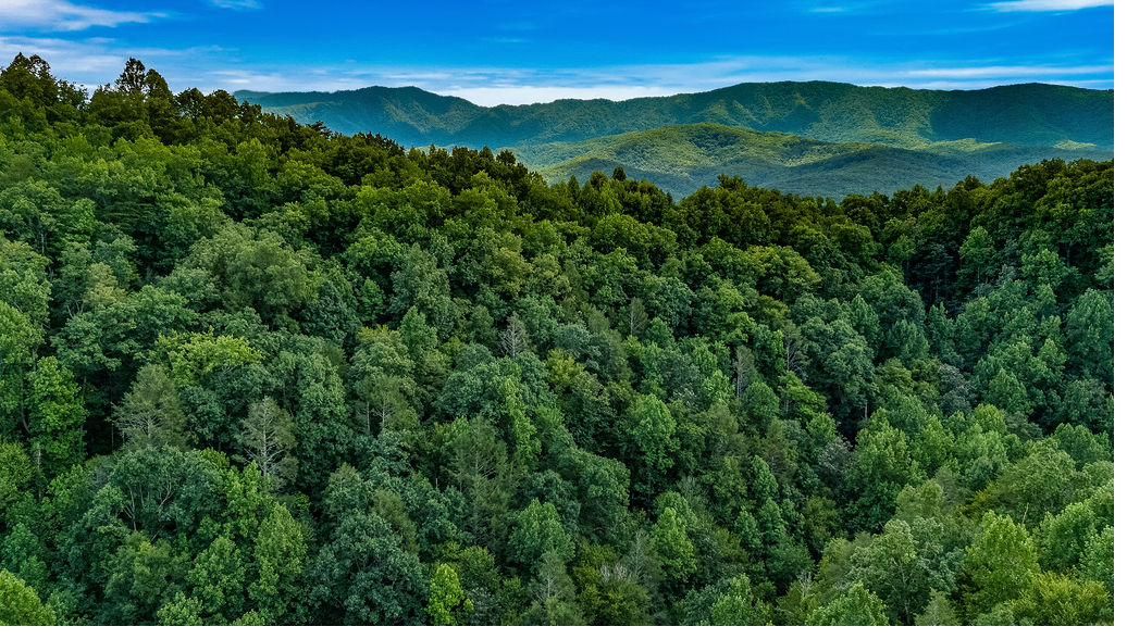
Greenbrier: The Quiet Way into the Smokies
Most visitors enter Great Smoky Mountains National Park through Gatlinburg and the Sugarlands, and on a busy weekend it shows. Greenbrier is the other way in. It sits off Highway 321 east of Gatlinburg, about ten minutes from The Smoky Edit, and the road follows the Little Pigeon River into a corner of the park that still feels like a secret.
The Greenbrier Road starts paved and turns to gravel as it winds deeper in. Take it slow. The river is right there beside you, and half the pleasure is the drive.
Ramsey Cascades
About 8 miles round triproughly 2,200 feet of climbingstrenuous
Ramsey Cascades is the tallest waterfall in the national park, spilling about 100 feet across a broad, angled rock face. The first stretch follows an old road bed. Then the trail turns uphill along the stream and climbs through old-growth forest, past some of the largest trees you'll see anywhere in the Smokies.
This one earns its reputation. The upper trail is rocky, with several creek crossings on stepping stones, and those crossings can be wet even on dry days. After heavy rain, skip it. Start early, wear real hiking shoes, and pack more water than you think you need.
Porters Creek
About 7 miles round trip to the endmoderateshorter turnaround options
If Ramsey Cascades is the challenge, Porters Creek is the reward you don't have to work as hard for. The trail begins on an old road through Greenbrier Cove, a settlement that predates the park, and passes the remains of the old homesites along the way. Around a mile and a half in, it crosses the creek on a footlog between two large boulders, then narrows to follow Porters Creek through mossy forest to Fern Branch Falls.
In spring, Porters Creek is one of the best wildflower hikes in the park. Any time of year, you can turn around whenever you've had your fill. The trail ends at backcountry Campsite #31, about 3.6 miles in.
More Trails from Greenbrier
Greenbrier is also the starting point for longer routes, including the Brushy Mountain, Grapeyard Ridge, and Old Settlers trails. Pick up a park trail map before heading out.
Know Before You Go
Parking tags are required. Any vehicle parked in the national park for more than 15 minutes needs a parking tag: $5 daily, $15 weekly, or $40 annual. Buy daily and weekly tags online at recreation.gov and print them, since a photo on your phone isn't accepted. Tags are also sold at park visitor centers. You don't need a tag to simply drive through.
Check the road before you go. The Greenbrier Road can be gated in bad weather, which closes access to its trailheads.
Off-season trails can be rough. The park does most trail maintenance from May through November, so expect the occasional downed tree in winter and early spring.
Leave the creek crossings alone in high water. They become hazardous after heavy rain.
Come Back to the Cabin
After a long day on the trail, the hot tub on the lower deck is waiting. The Smoky Edit is a renovated three-level log cabin in Cobbly Nob, about ten minutes from the Greenbrier entrance, with two fire pits, a game room, and room for eight.
Book directly with us and skip the platform service fees.
Check availability at thesmokyedit.com
Greenbrier Questions
Where is the Greenbrier entrance?
Off Highway 321 east of Gatlinburg, about ten minutes from The Smoky Edit in Cobbly Nob.
Do I need a parking tag to hike at Greenbrier?
Yes. Vehicles parked more than 15 minutes anywhere in the park need a tag: $5 daily, $15 weekly, or $40 annual.
How hard is the Ramsey Cascades hike?
It's strenuous: about 8 miles round trip with roughly 2,200 feet of climbing, rocky footing, and creek crossings.
What's the best easy hike at Greenbrier?
Porters Creek. It's moderate overall, and you can turn around at any point.
Is the Greenbrier Road paved?
It starts paved and turns to gravel further in.